A balmy 10 degrees Celsius in January might sound like a welcome reprieve to many Canadians hunkering down for another winter, but when it happens at high altitude, it portends a worrisome effect of climate change. That’s what Stephen Déry, an atmospheric scientist at the University of Northern British Columbia, and his team observed at a remote site in 2007. Still, the same technology Déry is using to reveal these kinds of weather events could also help mitigate their impact.
He and his team have installed six meteorological stations in the Quesnel River Watershed high up in the Cariboo Mountains in the north central interior of British Columbia to measure air temperature, relative humidity, snow depth, precipitation and wind, among other things. Not long after the first four stations were installed in 2006, Déry began to see an unsettling warming trend. With two additional stations installed in 2010, and with more than 10 years of data, he and his team have found those patterns are continuing, and even worsening.
READ: Snowfall
In the lead-up to the 2010 Winter Olympics, a champion for snow is making some noise from the mountaintops of northern British Columbia
February 24, 2010
“We’re seeing extended dry periods, strong winds and storms and an overall pattern of warmer conditions,” says Déry, who notes that they’ve also seen a dramatic decrease in snowpack levels over the last few winters. “By the second week of April last year, there was no snow in the mountain valleys east of Prince George,” he says. “Normally at that time of year, you’d expect a couple of metres of accumulation. It should have been at its maximum.”
Less snow in the mountains, says Déry, means less snowmelt feeding into streams and rivers, and since the Quesnel is one of the main tributaries feeding B.C.’s largest river, the Fraser River, the impacts are significant. What’s more, the effect of reduced snow cover is compounded by the fact that the exposed ground absorbs heat from the sun that a blanket of white would have otherwise reflected, so things heat up that much more.
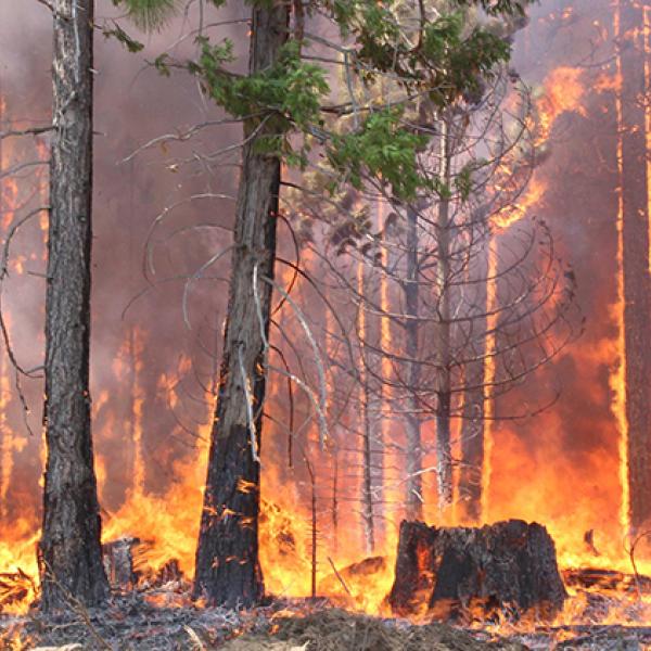
Wildlife, including valuable salmon runs, suffer, the risk of forest fires increases with drier conditions and more lightning events, and water quality could be in peril when the quantity is reduced. Other weather changes in the high mountains, like more frequent rain-on-snow events, increase the risk of flash floods and shifting temperature patterns affect how and when avalanches occur.
Since most weather stations are located in valleys and near airports, alpine areas were previously a blind spot. Déry’s CFI-funded weather stations are helping to fill that void in how we understand shifting weather patterns at high altitudes.
By communicating the data from the meteorological stations, Déry’s team helps to inform groups responsible for stream management, forest fire management and prediction of avalanche risk. To increase that reach, this summer his team made the data from three of the stations available in real time online.


